Weather Tools
Practical online tools for meteorology and weather analysis. Calculate important weather data and understand atmospheric phenomena.
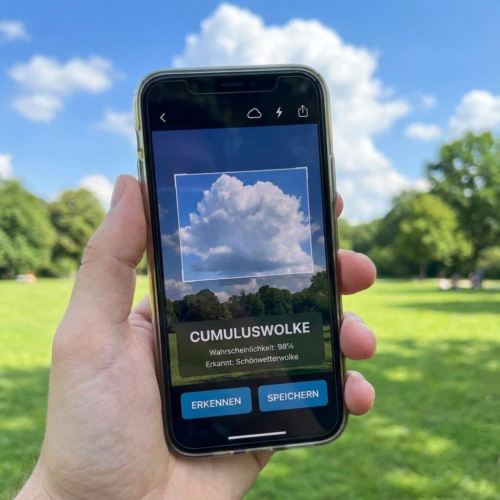
Cloud Identification
Identify cloud types from images with AI assistance. Includes weather forecast and safety assessment.
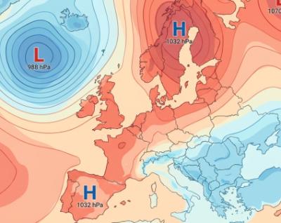
Surface Chart Analysis
Analyze surface weather charts with AI: automatically recognize and explain fronts, pressure systems, cyclones, and isobars.
Weather Calculator
Calculate dew point, wind chill, heat index, and other important meteorological values.
Wind Speed Converter
Convert between Beaufort wind force and various speed units (km/h, m/s, knots).
What-If Simulator
Compare meteorological parameters before and after changes: dew point, air density, humidity, and more.
WMO Weather Report Parser
Decode standardized weather reports (METAR, SYNOP, TAF). Understand the meteorological codes behind the reports.
Professional Meteorology Tools
Our weather tools help you perform meteorological calculations and better understand weather phenomena. All tools are based on scientifically recognized formulas and standards.
Available Tools
- Weather Calculator: Calculate dew point, wind chill, heat index, and vapor pressure
- Wind Speed Converter: Convert wind force between Beaufort and various units (km/h, m/s, knots, mph)
- What-If Simulator: Compare meteorological metrics before and after parameter changes (temperature, humidity, air pressure)
- Cloud Identification: AI-powered identification of cloud types with weather forecast and safety assessment for watersports enthusiasts
- Surface Chart Analysis: AI-powered analysis of surface weather charts with detection of fronts, pressure systems, cyclones, and isobars
- WMO Weather Report Parser: Decode standardized weather reports (METAR, SYNOP, TAF) and understand the meteorological codes behind them. With examples and detailed explanations.
Disclaimer
All information without guarantee!
- The information and calculations provided on this page are for educational and informational purposes only.
- The accuracy and completeness of the data is not guaranteed. Errors and omissions are possible.
- The decoding of weather reports (METAR, SYNOP, TAF, etc.) is based on automated analysis and may contain errors.
- For critical applications (aviation, maritime, etc.) you should rely on official weather services and specialized institutions.
- This disclaimer extends to all indirect damages arising from the use of these tools.
- Meteorological calculations are based on scientific formulas but may deviate in practice.
Source of weather data: The WMO formats are based on standards of the World Meteorological Organization. For current, accurate data, please consult official weather services such as the German Weather Service (DWD), the National Weather Service (NWS), or other national meteorological authorities.