Cirrostratus duplicatus
Cs du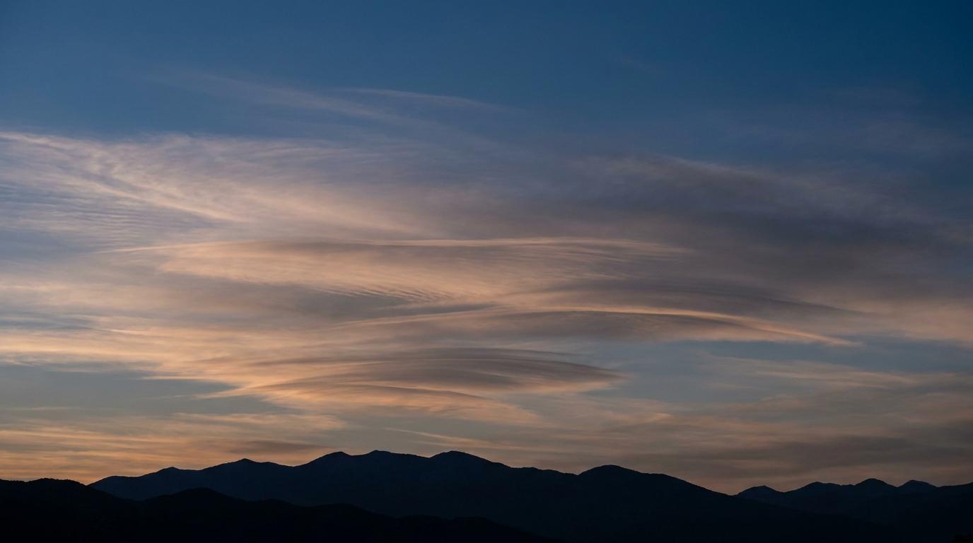
Cirrostratus duplicatus
© wetterkurs.ch
Description
The name "duplicatus" (Latin: doubled, duplicate) refers to a variety in which cloud layers appear one above another at slightly different altitudes and partially overlap. Cirrostratus duplicatus consists of at least two superimposed, partly transparent veils of ice crystals at high altitude. The individual layers may exhibit slightly different densities and transparency, giving the sky a staggered, multi-layered appearance. Despite its double-layered nature, Cirrostratus duplicatus often remains thin enough to produce halo phenomena around the sun or moon. This variety frequently forms through wind shear in the upper troposphere, where air layers of differing humidity and speed slide over one another.
Identification Features
- At least two distinctly superimposed, veil-like cloud layers at high altitude
- The individual layers are partly transparent but may differ in density and transparency
- Halo phenomena (22° ring or sun dogs) are frequently visible
- The sun or moon shines through in a subdued manner but retains recognisable contours
- When observed from the side or through gaps in the cloud, the separate layers are clearly distinguishable from one another
- Fine structural differences between the layers, such as one layer being more fibrous and another more uniform
- The sky appears milky-white with a perceptible sense of spatial depth within the cloud field
Occurrence by genus
Highlighted: all genera with which duplicatus occurs.
Meteorological Significance
Cirrostratus duplicatus indicates pronounced wind shear and differing moisture levels in the upper troposphere. The presence of multiple ice cloud layers is frequently a precursor to an approaching warm front, where warm, moist air rises at various altitudes over colder air masses. In such situations, the sky may become increasingly overcast over the course of 12 to 24 hours, eventually leading to precipitation. The double-layered structure can also occur at the margins of jet streams, indicating dynamic processes in the upper atmosphere. An isolated observation without any tendency towards thickening is meteorologically less significant and may point to stable conditions at altitude.
Facts
- WMO-Code
- Cs du
- Height layer
- High clouds
- Typical height
- 5.5 - 13.0 km
- Genus
- CIRROSTRATUS