Stratocumulus duplicatus
Sc du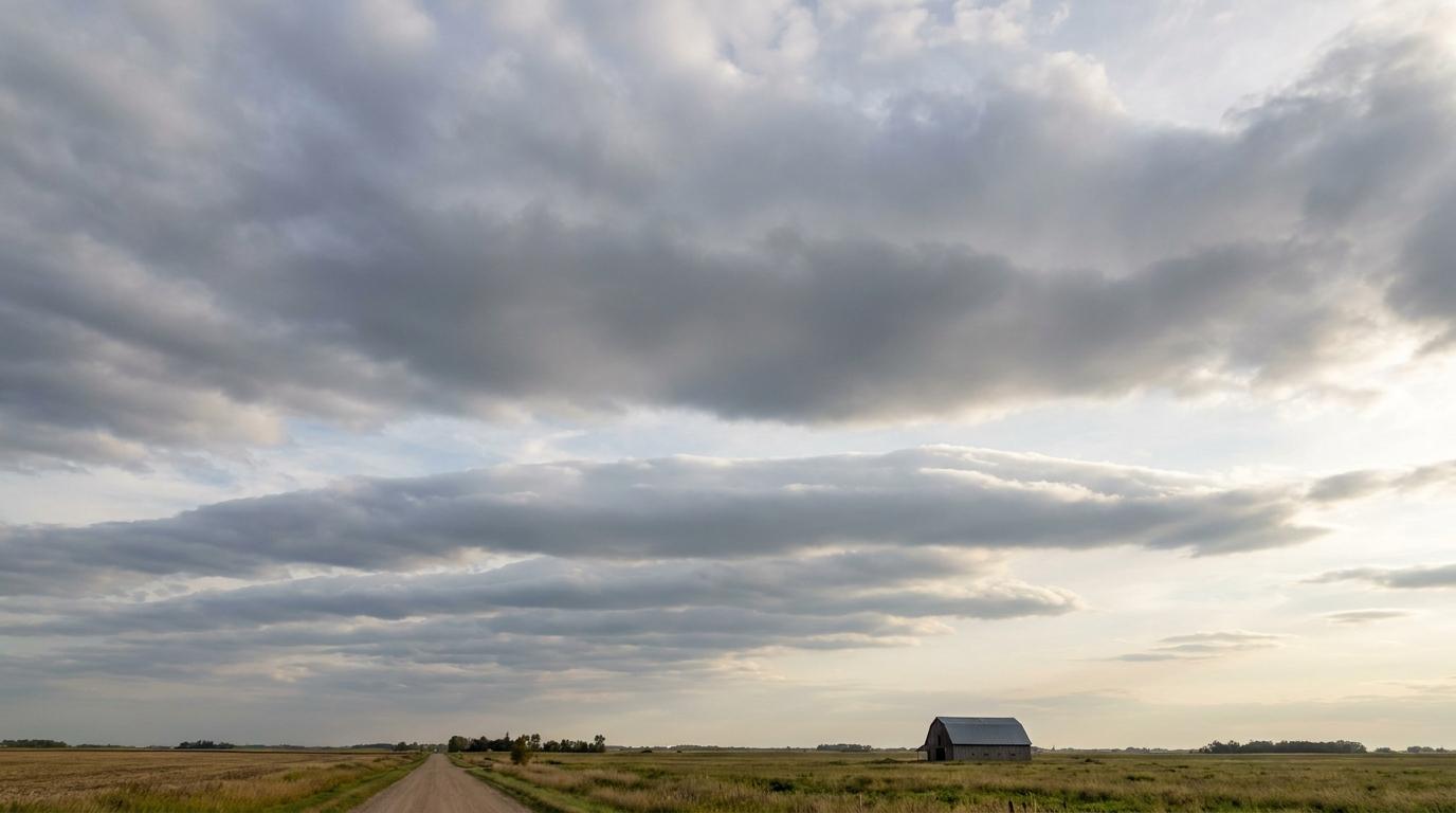
Stratocumulus duplicatus
© wetterkurs.ch
Description
The name "duplicatus" (Latin: doubled, twofold) describes a cloud variety in which two or more layers of stratocumulus are arranged one above the other at slightly different altitudes. These layers may partially merge with one another, but are at least in places clearly distinguishable from each other. Stratocumulus duplicatus commonly forms in situations where several stable inversion layers are present in the lower troposphere. The individual layers may display varying density and transparency, giving the sky a multi-layered and complex appearance. This variety occurs particularly frequently in maritime or coastal regions, where different air masses glide over one another.
Identification Features
- Two or more clearly recognisable stratocumulus layers arranged one above the other
- The individual layers are visible separately from one another in at least some places
- Differing transparency or colouration of the individual layers possible
- Wave-like or structured appearance within each layer
- Cloud base typically low, in the range of 600 to 2,000 metres
- The multi-layered nature becomes especially apparent when looking obliquely toward the horizon
- May be associated with light drizzle or spray rain
Occurrence by genus
Highlighted: all genera with which duplicatus occurs.
Meteorological Significance
Stratocumulus duplicatus indicates a complex vertical layering of the lower troposphere with multiple stable inversions. This situation frequently occurs during calm, anticyclonic weather patterns or in the transition zone between different air masses. The clouds generally produce no significant precipitation, but can occasionally generate light drizzle. The presence of multiple layers may indicate a gradual destabilisation of the atmosphere, although the weather pattern typically remains stable for several more hours. If the layer thickness increases or the layers merge, this may herald a transition to an overcast sky with altostratus or nimbostratus.
Facts
- WMO-Code
- Sc du
- Height layer
- Low clouds
- Typical height
- 0.6 - 2.0 km
- Genus
- STRATOCUMULUS