Cumulus
Cu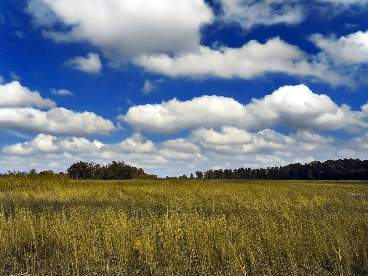
Cumulus
© Wikimedia
Description
The name Cumulus (Latin for heap) describes the characteristic shape of this cloud, which appears as piled-up heaps or tufts in the sky. Cumulus clouds are free-standing, dense clouds with sharp outlines that develop vertically in the form of hills, domes, or towers. Their sun-lit upper surface is usually brilliantly white and cauliflower-shaped, while the base appears relatively flat and darker. They form through convective updrafts when near-surface air warms and rises until water vapor condenses at altitude. Cumulus clouds occur in various types, ranging from the shallow Cumulus humilis (fair-weather cloud) to the towering Cumulus congestus, which can develop further into thunderstorm clouds.
Identification Features
- Free-standing, clearly defined clouds with distinct outlines
- Flat, often horizontally aligned base (condensation level)
- White, cauliflower-shaped, rounded upper surface
- Vertical development in the form of domes or towers
- Frequently appear in groups, often at regular intervals
- Form during the day through solar radiation and often dissipate in the evening
- Shadow on the base darkens with increasing vertical extent
- Preferentially form over land on sunny days with unstable atmospheric layering
Species of this genus
Highlighted: all species that occur with Cumulus.
Meteorological Significance
Shallow cumulus clouds (Cumulus humilis) are considered typical fair-weather clouds and indicate stable weather conditions with limited convection. However, when they grow strongly in the vertical (Cumulus mediocris to congestus), this signals increasing atmospheric instability and may indicate approaching showers or thunderstorms. The development from Cumulus congestus to Cumulonimbus marks the transition to stormy weather with heavy rain, hail, and gusts. The height and rate of vertical growth provide meteorologists with important clues about the amount of energy present in the atmosphere. Over the course of the day, cumulus cloud cover typically reaches its maximum in the afternoon during summer radiation weather patterns.
Facts
- WMO-Code
- Cu
- Height layer
- Vertical clouds
- Typical height
- 0.6 - 2.0 km
- Genus
- CUMULUS