Cirrostratus fibratus
Cs fib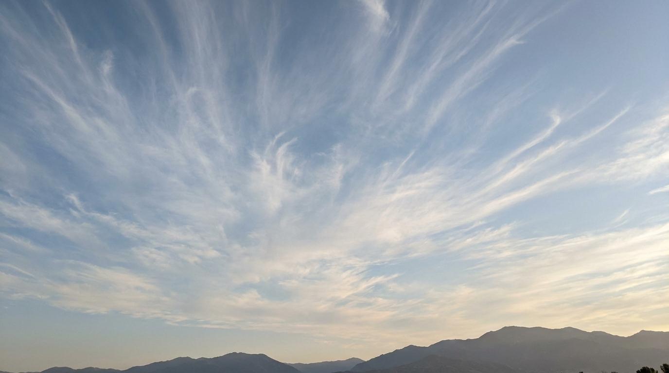
Cirrostratus fibratus
© Wetterkurs.ch
Description
The name "fibratus" (Latin: fibrous) describes the characteristic appearance of this cloud, which consists of fine, nearly parallel fibers or strands. Cirrostratus fibratus is a thin, veil-like ice cloud at high altitude that can partially or completely cover the sky without forming a uniformly featureless surface. Its fibrous texture distinguishes it from the smoother Cirrostratus nebulosus. It frequently produces halo phenomena, particularly the classic 22-degree ring around the sun or moon, as light is refracted by the ice crystals. It often forms ahead of warm fronts and can be considered a harbinger of approaching deteriorating weather.
Identification Features
- Thin, veil-like cloud layer at high altitude with a discernible fibrous structure
- Fine, approximately parallel streaks or strands run through the cloud veil
- The sun or moon shine clearly through, often with a visible halo (ring of light)
- The sky appears milky-bright, but the outlines of the sun or moon remain recognizable
- No shadow cast on the ground, as the cloud is too thin
- Distinguished from Cirrostratus nebulosus by its clearly visible fibrous texture
- Can develop from cirrus clouds, with the fibers thickening into a continuous veil
Occurrence by genus
Highlighted: all genera with which fibratus occurs.
Meteorological Significance
Cirrostratus fibratus is a classic harbinger of an approaching warm front and frequently indicates a deterioration in weather within the next 12 to 24 hours. The cloud typically forms at the leading edge of an extensive overrunning process, in which warm, moist air rises over colder air masses. As conditions progress, the cirrostratus often thickens into altostratus and eventually into nimbostratus, from which prolonged precipitation falls. If the cirrostratus cloud cover remains thin and dissipates again, the frontal disturbance was too weak or has passed. Observing halo phenomena in Cirrostratus fibratus is therefore a valuable aid for field weather forecasting.
| Genera: | Altocumulus AcAltostratus AsCirrocumulus CcCirrostratus CsCirrus CiCumulonimbus CbCumulus CuNimbostratus NsStratocumulus ScStratus St |
| Species: | fibratus Cs fibnebulosus Cs neb |
Facts
- WMO-Code
- Cs fib
- Height layer
- High clouds
- Typical height
- 6.0 - 12.0 km
- Genus
- CIRROSTRATUS